Woodland used to cover between 25 to 40 per cent of the land area of Iceland. The arrival of human settlers resulted in considerable changes to this by quickly depleting the forests, making use of the wood for building and energy purposes. As a result, woodland cover went down to below 1 per cent of the land surface, having only more recently been started to be prioritised again.
While pre-human forest cover and contemporary reforestation efforts are subject to a wide range of studies, the utilisation of woodlands throughout settlement have been less often explored. Knowledge about these can be useful for both, environmental as well as cultural purposes. Rediscovering how woodlands have been utilised over time can help to inform reforestation projects, understand their environmental origins and context, but can also be a contribution to better understand the cultural landscapes that humans have created and linking these to the history and identify of places.
Information about the use of trees and woodlands exists in fragmented form through sources such as Landnámabók, Jarðabók, church records and mentions in Sagas, but also through their legacy in placesnames that indicate utilisation of woodlands (such as Skógarkot, Skógartögl, Kolgrafahæð, Raftviðarhlíð). The woodlands in Þingvellir National Park are situated in one of the iconic areas of the country, a national park as well as UNESCO World Heritage site, demonstrating the environmental as well as societal relevance of this place in Iceland. Through its historic relevance the surrounding woodlands have been subject to intensive use and transformation by humans.
In this project we studied a wide range of the aforementioned archives and resources in order to document the utilisation of woodlands at Þingvellir. The archival work was complemented by a field visit, with the main aim to reveal evidence from all available historic sources, combined with other material such as maps and photographic archives, and organise these in a spatial database to create the most detailed mapping of the history of woodlands and their human utilisation in this historic place.
The following StoryMap provides insights into the findings (external link):
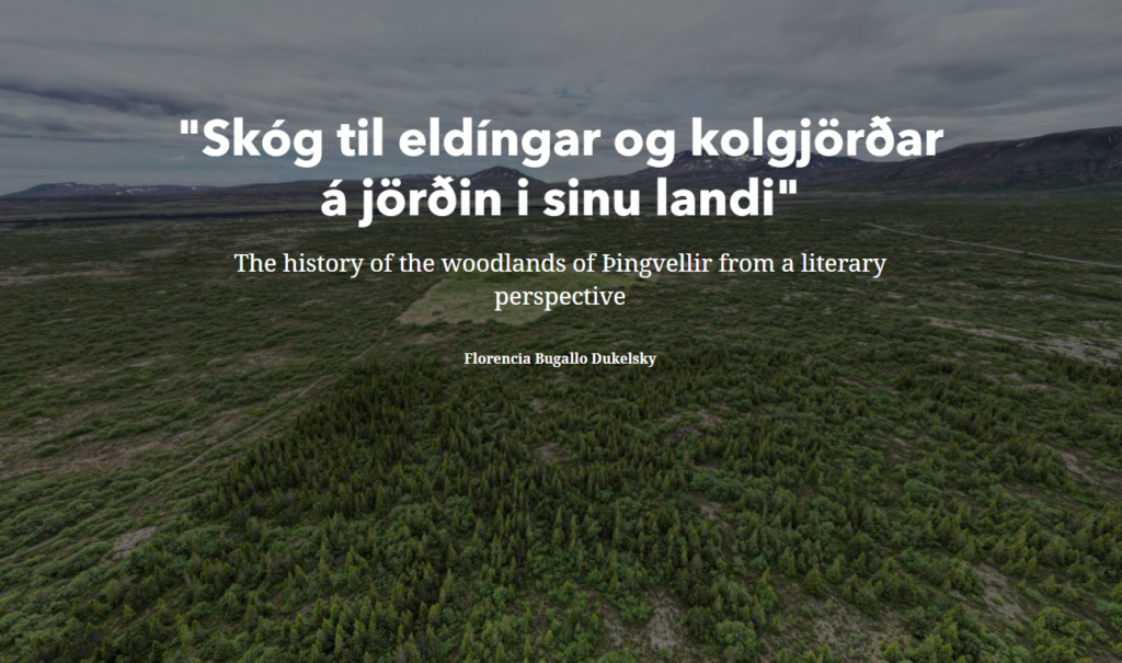
“Skóg til eldíngar og kolgjörðar á jörðin i sinu landi”
The history of the woodlands of Þingvellir from a literary perspective
Download: Full Database (XLS format)
This data is published under a Creative Commons Attribution – Non Commercial – ShareAlike 4.0 International License
This project was realised by Florencia Bugallo Dukelsky under the supervision of Benjamin Hennig and Scott Riddell with support through the Rannís Student Innovation Fund (Nýsköpunarsjóð námsmanna) under the grant number 2210607-1101. Further support was provided by Þingvellir National Park.