News

Spatial Analysis & Geovisualisation Research Group at the University of Iceland

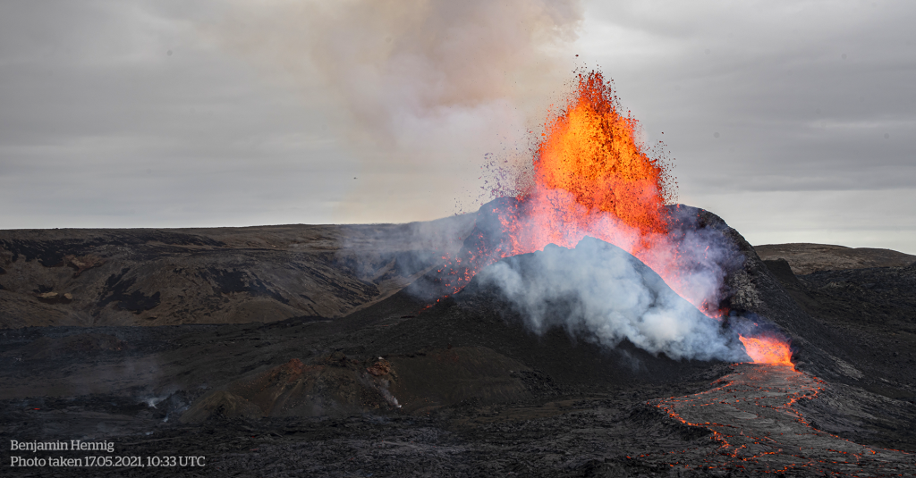
Geldingadalur Volcanic Eruption (17. May 2021)

Lava flow map of the 2021 Fagradalshraun volcanic eruption

On 19. March 2021 a volcanic eruption started in the Geldingadalir valley at Fagradalsfjall mountain on the Reykjanes peninsula, South-West Iceland. The new lava field was named Fagradalshraun and after the first 6 months of activity had grown to cover an area of 4.8 square kilometers.
Cubic Globe – Population Cartogram Edition

A cartogram is a map that displays areas proportional to variables of interest. A population cartogram, for example, shows an area resized according to the number of people who live there, so that unpopulated areas disappear from such a map. This foldable globe is such a cartogram representation, showing a gridded population cartogram projected onto…
Read more

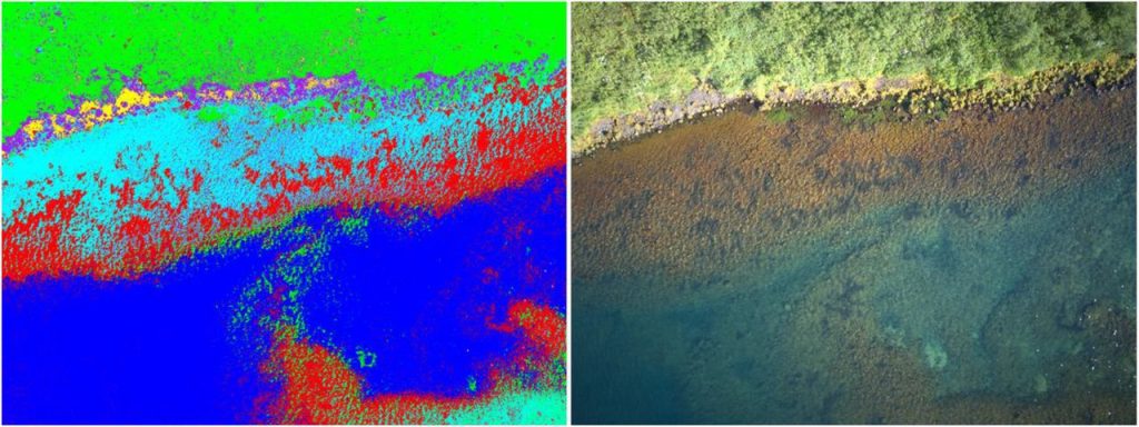
Monitoring fish spawning sites in freshwater ecosystems using low-cost UAV data

A pre-print of a case study of salmonid spawning grounds in lake Þingvallavatn, Iceland, has been added to the bioRxiv preprint server.

Hello World!

We understand how excited you are to find out more about this website. We are not ready yet to show you more. Please stay tuned and visit again 🙂