Intensive Field Course on the Use of Geospatial Technologies in Hazard Research and Response
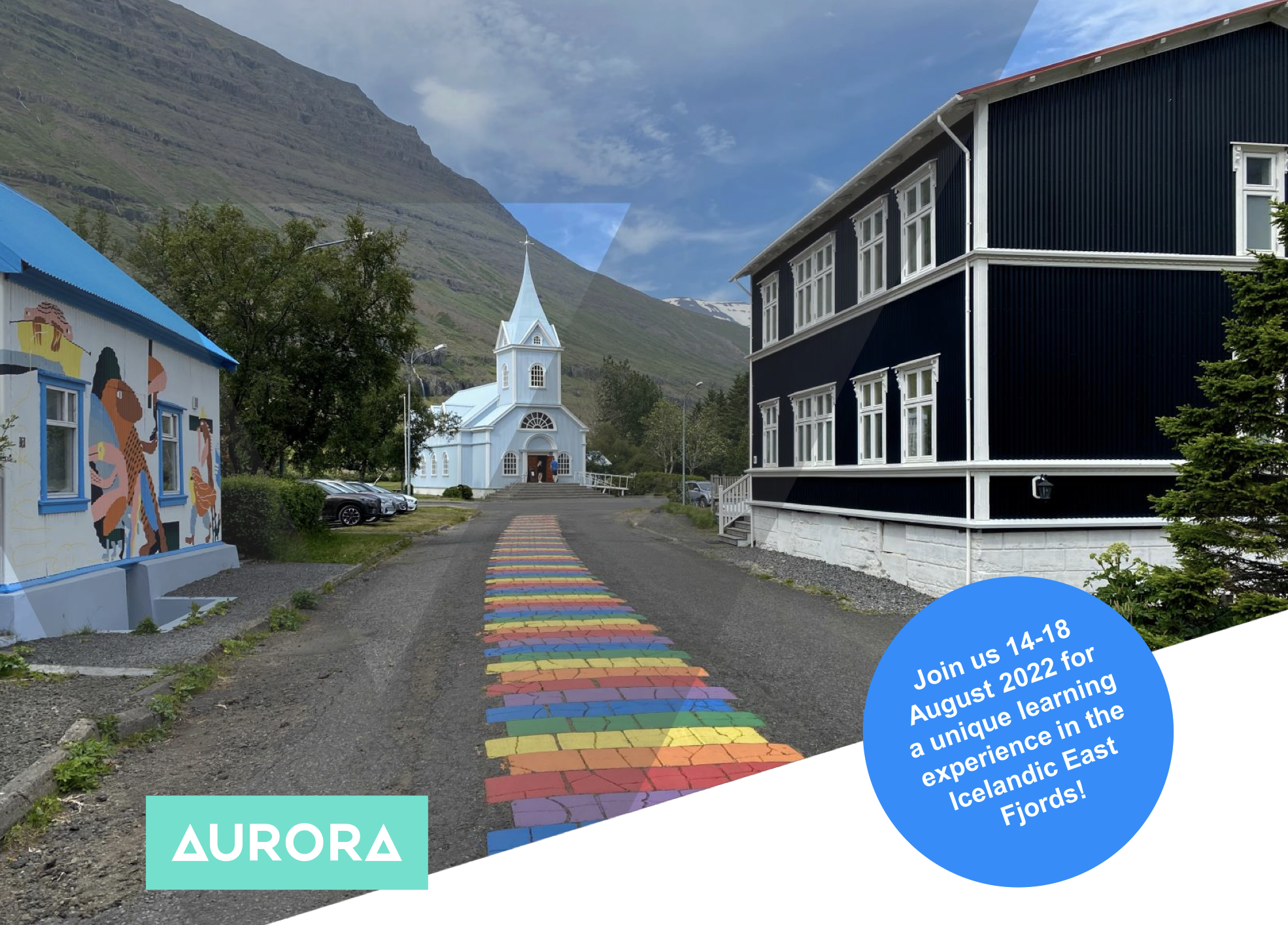
The Department of Geography and Tourism Studies of the University of Iceland in collaboration with colleagues from the UI Science Institute and Palacký University Olomouc, Czech Republic is offering an Aurora-supported intensive graduate-level field course on the use of geospatial technologies in hazard research and response in Seyðisfjörður, East Iceland. The 3 ECTS course takes place 14-18 August 2022 in the Icelandic East Fjords and is open for all students from the Aurora European Universities Alliance.
This intensive field course provides students with first-hand experience of using state-of-the-art geospatial technologies that are becoming important for both basic research and practical response planning in locations exposed to natural hazards. The focus is on two methodological innovations, one for understanding physical processes that contribute to landslide hazards, and the other for enabling meaningful participation of local publics in hazard research and response.
Students will learn about the use of deployment of Unmanned Aerial Vehicles for obtaining high-resolution digital elevation data, combining such data with resistivity measurement data for 3D mapping. They will also experiment with the use of Public Participation Geographic Information Systems for researching hazard perception and engaging local communities in hazard assessment and response planning. In addition to gaining hands-on experience, students will elaborate their own views of geospatial technology use in the context of natural hazards.
Application deadline is 7 May 2022
>> Click here to find out more about the course and how to apply <<