Aurora Field Course Reports
In August 2022 the Department of Geography and Tourism Studies of the University of Iceland in collaboration with colleagues from the UI Science Institute and Palacký University Olomouc, Czech Republic conducted an Aurora-supported intensive graduate-level field course on the use of geospatial technologies in hazard research and response in Seyðisfjörður, East Iceland. As part of the coursework the participating students created a StoryMap report of their experiences in the field which you find documented on this page. The preview images link you straight to the StoryMaps:
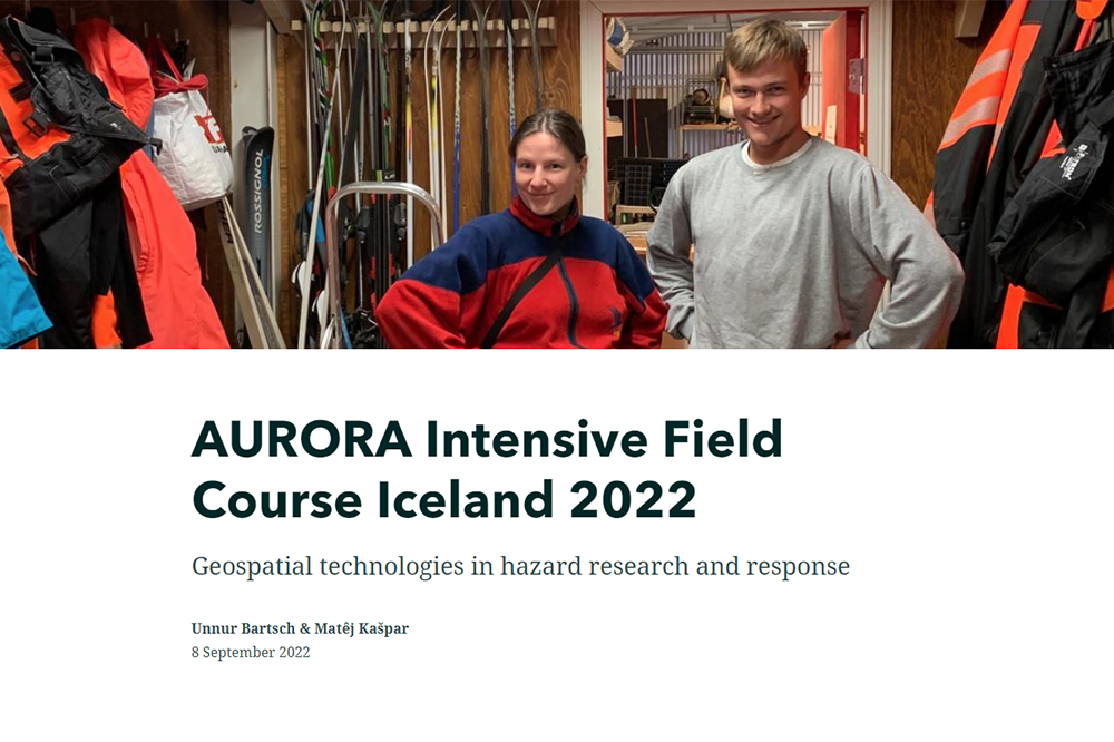
Unnur Bartsch & Matêj Kašpar
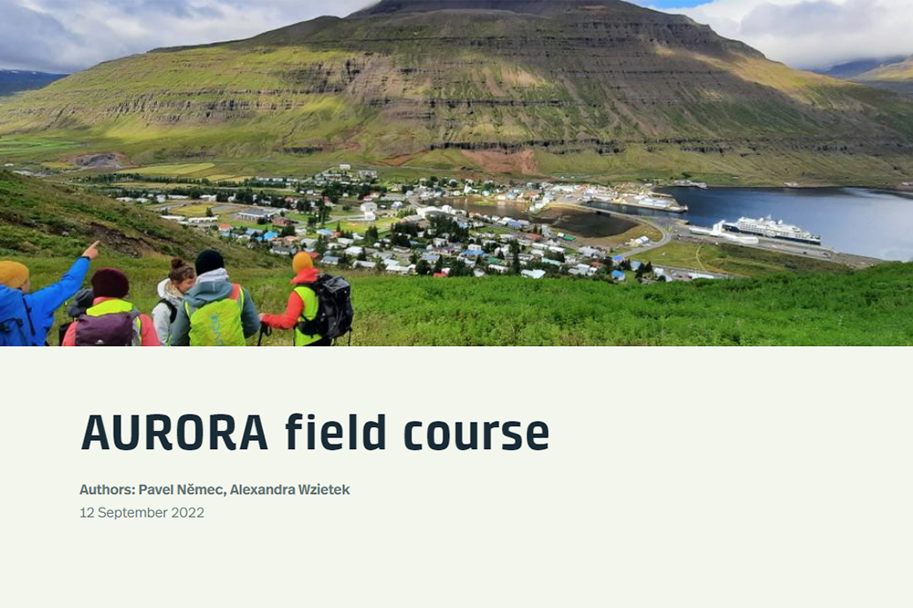
Pavel Němec & Alexandra Wzietek
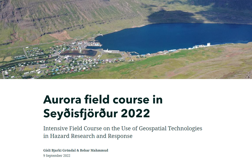
Gísli Bjarki Gröndal & Rebar Mahmmud
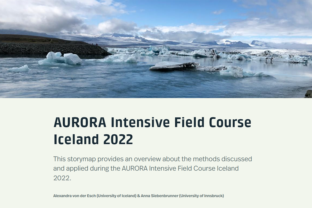
Alexandra von der Esch & Anna Siebenbrunner
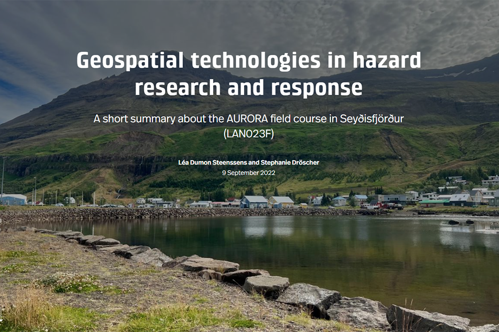
Léa Dumon Steenssens & Stephanie Dröscher
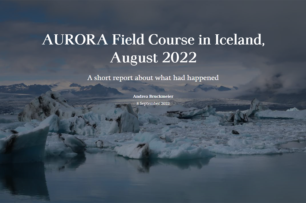
Andrea Bruckmeier
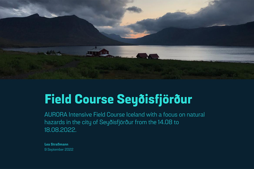
Lea Straßmann
View more StoryMaps from other courses:
StoryMaps Showcase