Latest News
See what’s new from the GeoVis Lab:
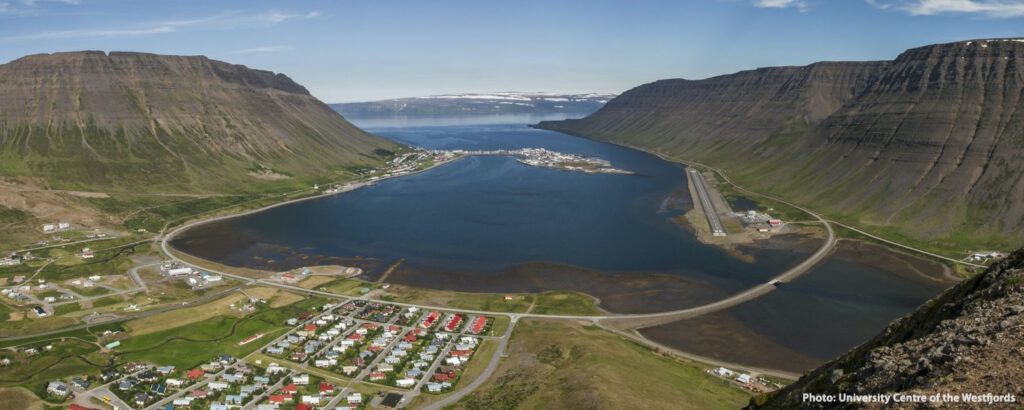
2025 Summer School: Remote Communities in Transition
Explore sustainability and resilience in remote island communities at the ISLAs Summer School in Iceland’s Westfjords, 28th June–6th July 2025. Combining academic study with real-world experiences, this programme examines how communities adapt to environmental and socio-economic transitions.
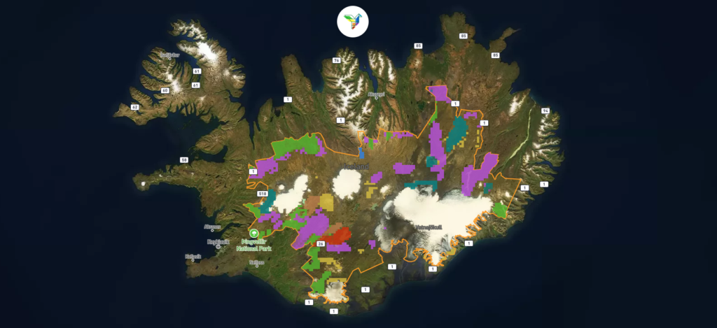
Read moreHighland Game: Envisioning Land Use in the Icelandic Highlands
Explore and share your land use preferences in Iceland’s central highlands with this interactive mapping tool, developed for the EU Horizon 2020 PHOENIX Project.
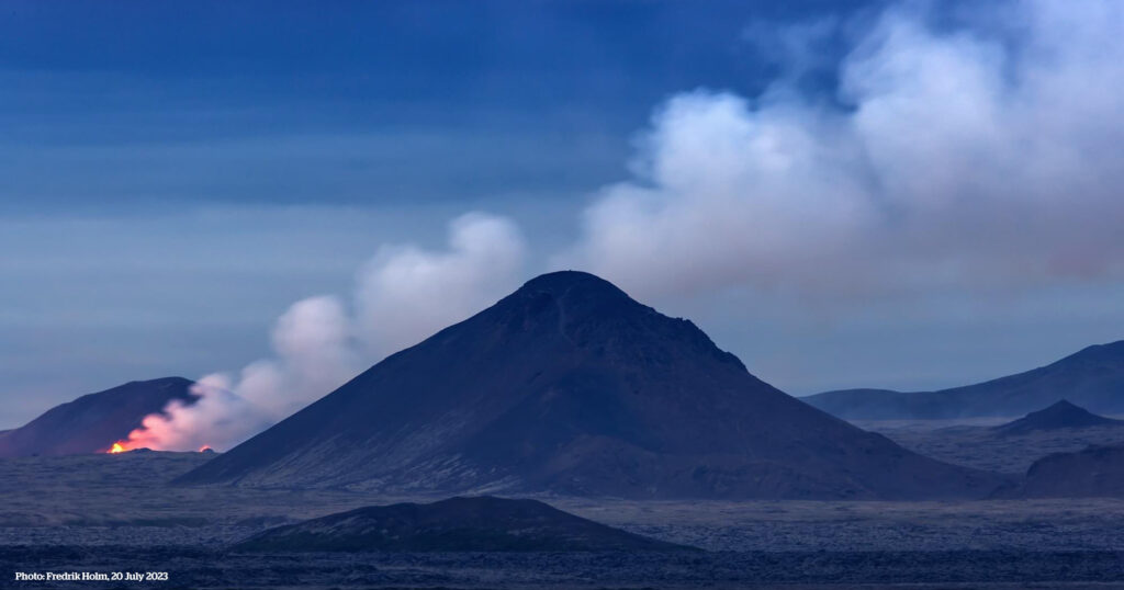
Read moreLava flow map of the 2023 Litli-Hrútur volcanic eruption
A new volcanic eruption began on 10 July 2024 near Fagradalsfjall, merging with lava from previous eruptions and reshaping the landscape just 25 km from Reykjavík. This map, updated 19 July 2024, highlights the new fissures, active crater, and past lava fields.
Read more

