Cubic Globe – Population Cartogram Edition
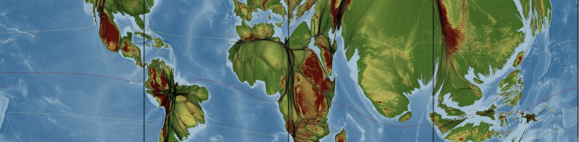
A cartogram is a map that displays areas proportional to variables of interest. A population cartogram, for example, shows an area resized according to the number of people who live there, so that unpopulated areas disappear from such a map. This foldable globe is such a cartogram representation, showing a gridded population cartogram projected onto a cubic globe that can easily be assembled into a 3D representation of the planet – a fun exercise for kids and adults alike. Enjoy!
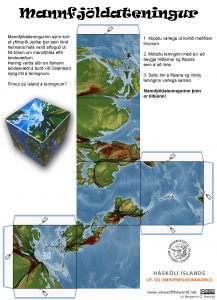
Instructions for making your own cubic globe with a world population cartogram display
(Icelandic version, for an English template go here)