Author: Benjamin Hennig

Spatial Analysis & Geovisualisation Research Group at the University of Iceland

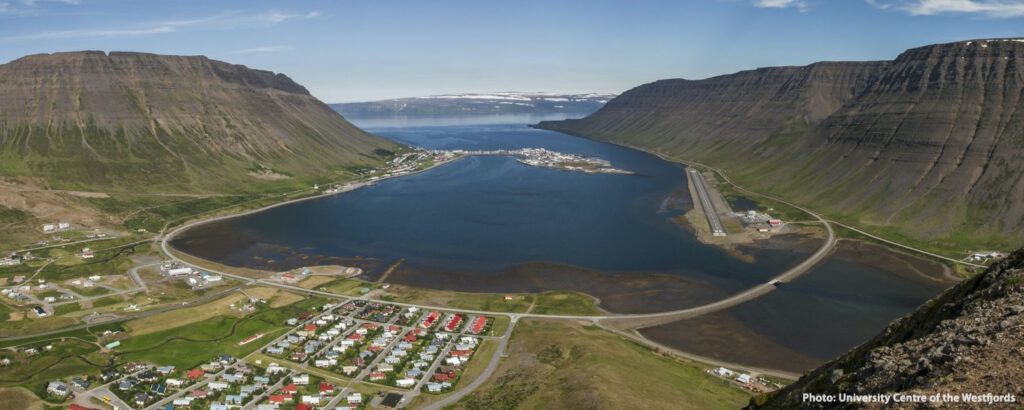
2025 Summer School: Remote Communities in Transition

Explore sustainability and resilience in remote island communities at the ISLAs Summer School in Iceland’s Westfjords, 28th June–6th July 2025. Combining academic study with real-world experiences, this programme examines how communities adapt to environmental and socio-economic transitions.
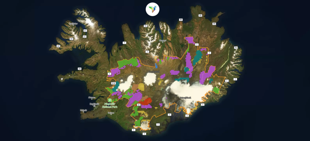
Highland Game: Envisioning Land Use in the Icelandic Highlands

Explore and share your land use preferences in Iceland’s central highlands with this interactive mapping tool, developed for the EU Horizon 2020 PHOENIX Project.

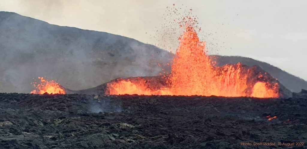
Meradalir 10 August 2022, Photo by Scott Riddell

Lava flow map of the 2022 Meradalir volcanic eruption

A renewed volcanic eruption started on 3 August 2022 in the north-eastern part of the 2021 eruption site on the Reykjanes peninsula in Iceland which keeps changing and transforming the landscape in the valley and its surrounding areas as a result.

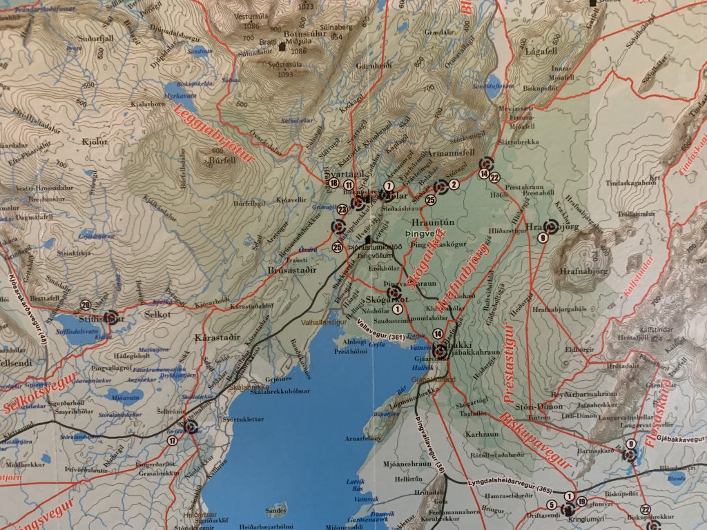
Thingvellir Map

Student Summer Project: Rediscovering the history of Þingvellir woodlands

Student summer research project exploring the history of Þingvellir woodlands.

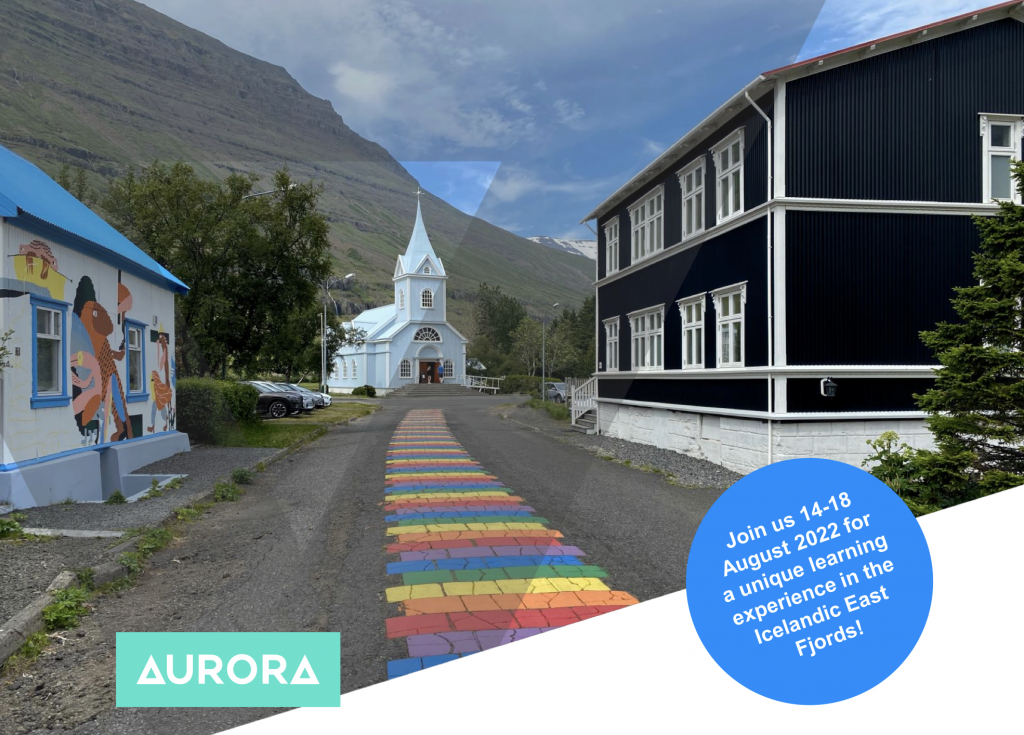
Seyðisfjörður Field Course

Intensive Field Course on the Use of Geospatial Technologies in Hazard Research and Response

The Department of Geography and Tourism Studies of the University of Iceland in collaboration with colleagues from the UI Science Institute and Palacký University Olomouc, Czech Republic is offering an Aurora-supported intensive graduate-level field course on the use of geospatial technologies in hazard research and response in Seyðisfjörður, East Iceland. The 3 ECTS course takes place…
Read more

Mytilene at dusk

Summer School: Islands as Laboratories for Sustainability

Summer School Programme Islands as Laboratories for Sustainability: The case of Lesvos

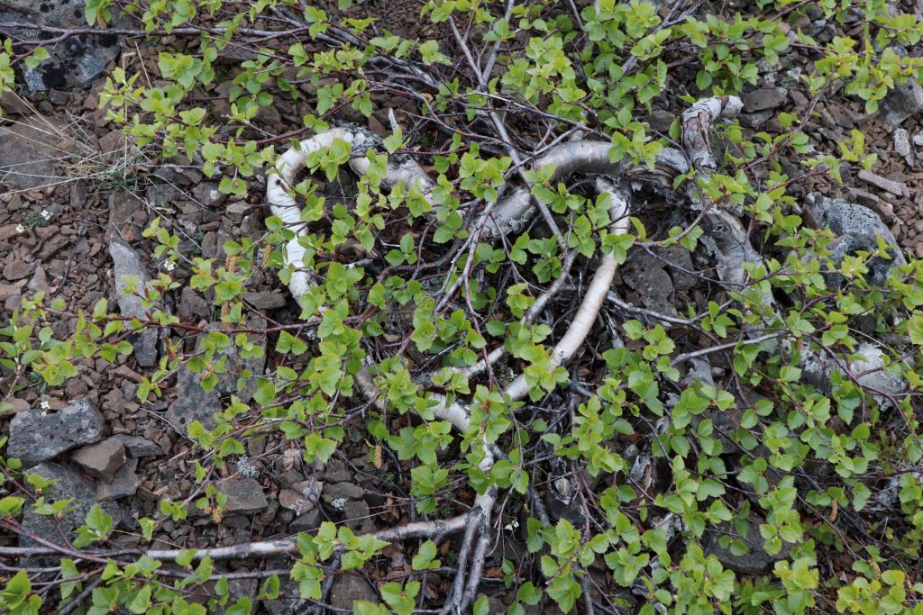
Master thesis project: Mapping the distribution of birch woodlands in Iceland

Mapping the distribution of birch woodlands in Iceland Between 2010 and 2014 the Icelandic Forest Service (Skógræktin) created an assessment of the distribution of natural birch woodlands in Iceland through an extensive field- and aerial photo survey. Since then, no new assessment of the birch forests in Iceland has been made, although politics and planning…
Read more

Hello World!

We understand how excited you are to find out more about this website. We are not ready yet to show you more. Please stay tuned and visit again 🙂