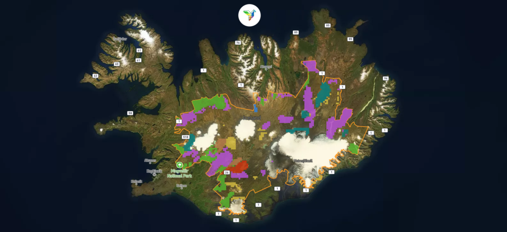
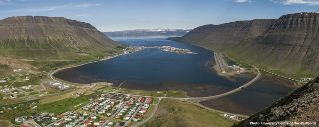
News

Spatial Analysis & Geovisualisation Research Group at the University of Iceland

Keilir 12 July 2023, Photo by Fredrik Holm

Lava flow map of the 2023 Litli-Hrútur volcanic eruption

Another volcanic eruption started on 10 July 2024 north of the 2021 and 2022 eruption sites near Fagradalsfjall on the Reykjanes peninsula in Iceland. The new lava flows have already merged with those of the previous two eruptions and continue to modify the landscape in the area which lies just about 25 km from the…
Read more

PHOENIX Research Fellow (Geography or related disciplines)

We are recruiting a Research Fellow in Holistic Environmental/Ecological Innovations with experience in quantitative and qualitative geographic methods Faculty of Life and Environmental Sciences, University of Iceland

Meradalir 10 August 2022, Photo by Scott Riddell

Lava flow map of the 2022 Meradalir volcanic eruption

A renewed volcanic eruption started on 3 August 2022 in the north-eastern part of the 2021 eruption site on the Reykjanes peninsula in Iceland which keeps changing and transforming the landscape in the valley and its surrounding areas as a result.

Thingvellir Map

Student Summer Project: Rediscovering the history of Þingvellir woodlands

Student summer research project exploring the history of Þingvellir woodlands.

Seyðisfjörður Field Course

Intensive Field Course on the Use of Geospatial Technologies in Hazard Research and Response

The Department of Geography and Tourism Studies of the University of Iceland in collaboration with colleagues from the UI Science Institute and Palacký University Olomouc, Czech Republic is offering an Aurora-supported intensive graduate-level field course on the use of geospatial technologies in hazard research and response in Seyðisfjörður, East Iceland. The 3 ECTS course takes place…
Read more

Mytilene at dusk

Summer School: Islands as Laboratories for Sustainability

Summer School Programme Islands as Laboratories for Sustainability: The case of Lesvos

Master thesis project: Mapping the distribution of birch woodlands in Iceland

Mapping the distribution of birch woodlands in Iceland Between 2010 and 2014 the Icelandic Forest Service (Skógræktin) created an assessment of the distribution of natural birch woodlands in Iceland through an extensive field- and aerial photo survey. Since then, no new assessment of the birch forests in Iceland has been made, although politics and planning…
Read more

Covid-19 in Iceland

Covid-19 in Iceland

Iceland has in recent weeks seen an unprecedented surge in the number of detected cases of Covid-19 since the global pandemic started in early 2020.

Geldingadalur Volcanic Eruption (17. May 2021)

Lava flow map of the 2021 Fagradalshraun volcanic eruption

On 19. March 2021 a volcanic eruption started in the Geldingadalir valley at Fagradalsfjall mountain on the Reykjanes peninsula, South-West Iceland. The new lava field was named Fagradalshraun and after the first 6 months of activity had grown to cover an area of 4.8 square kilometers.

Cubic Globe – Population Cartogram Edition

A cartogram is a map that displays areas proportional to variables of interest. A population cartogram, for example, shows an area resized according to the number of people who live there, so that unpopulated areas disappear from such a map. This foldable globe is such a cartogram representation, showing a gridded population cartogram projected onto…
Read more